Global Information Systems (GIS)
Unlock the power of spatial data with our advanced GIS solutions. At TierSolution, we specialize in real-time tracking and monitoring of assets, enabling you to gain valuable insights into their locations and status. Additionally, our expertise extends to optimizing routes for transportation, reducing costs and improving efficiency.
Moreover, we leverage GIS technology to build innovative Augmented Reality (AR) solutions, enhancing how users interact with spatial data. Whether it's overlaying digital information onto physical environments or creating immersive experiences, we empower businesses to harness the full potential of GIS technology. Partner with us to leverage spatial data for informed decision-making and transformative experiences.
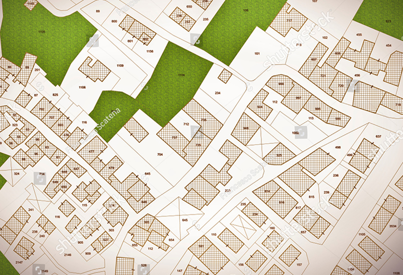
First-Class Custom GIS Mapping Systems
From climate research facilities to urban planning development, TierSolution provides GIS back-end specialists to aid in capturing geospatial information to create interactive GIS mapping solutions.
Our GIS mapping can customize any GIS software to provide continuous access to geospatial data in a reliable GIS app that ensures shareable insights of critical data to a host of different industries.
Custom GIS Software Development Services
We integrate Geographic Information Systems (GIS) with robust database solutions, so companies can generate GIS mapping services using internal logistic datasets from CRM apps or BI warehouses.
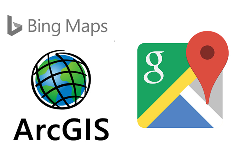
We provide custom GIS Software Development and configuration to third-party GIS software. Our tools integrate ESRI's ArcGIS, Google Maps, Bing Maps & over 100 others into proprietary GIS mapping systems and platforms.
Geoprocessing and
Geocoding
We program automated geoprocessing software and manual geoprocessing tools to transform unstructured or incompatible datasets into useful inputs.
Our engineer's use geocoding technologies to map addresses, businesses, landmarks, and points of interest into geo-coordinates using popular open-source GIS platforms such as Autodesk's Civil 3D software.
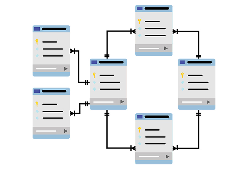
GIS Database
Design
We engineer and configure cloud-hosted relational database management systems (Microsoft SQL Server, Oracle, MySQL, PostgreSQL) to GIS mapping software. You can allow users to rapidly upload .csv and remotely deploy geospatial queries to report findings for live mapping datasets.
We interface drone technologies with databases by embedding IoT sensor software to mobile devices using web service API's (REST, SOAP, JSON, XML) for data migration.
Dynamic Mapping
Interfaces
Our geoprocessing allows businesses to create informative, eye-catching and interactive maps using custom GIS applications that allow various departments’ limitless layers and styles for plotting. We design overlays, quantitative and qualitative symbols, legends, annotation options, transitions and more to visualize any 2D and 3D thematic map.
GIS specialist will create data labs using choropleth, heat, proportional symbol, dot density, point and predominance maps using your industry specific GIS mapping system.

Data capture and conversion
We simplify the way our clients capture and convert geographic data from physical maps, survey coordinates, and integrations with GNSS/GPS satellites, field computers, LiDARs, UAVs, and remote sensors
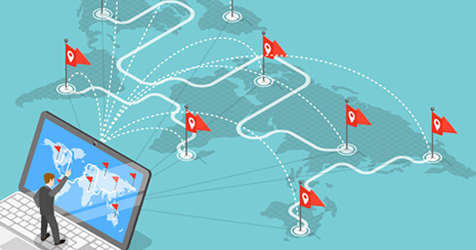
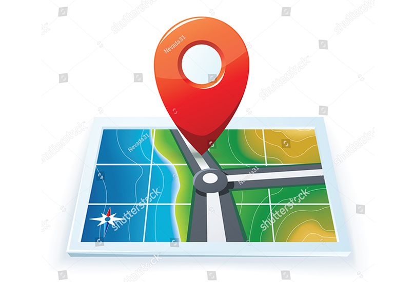
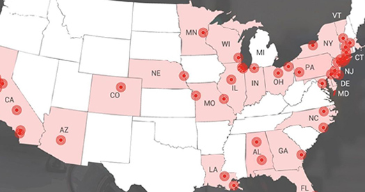
Real-Time Location Tracking
Know where assets are at all times Get a real-time view of people, vehicles, and sensor feeds
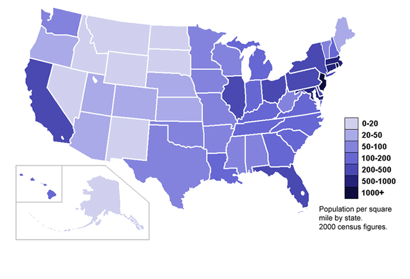
GIS heat map
Heat mapping is a way of geographically visualizing locations so that patterns of higher than average occurrence of things likes crime activity, traffic accidents, or store locations can emerge.